Montaña
Ha Ling Peak
Recomendado por 86 habitantes locales,
Consejos de residentes locales

Linda
June 6, 2022
A more challenging hike but worth it for the spectacular views along the way and at the summit.

Daniel
July 16, 2021
Short but difficult hike for first timer. The end allows you to be at the peak and overseeing the Town of Canmore!!

Carmen
June 18, 2021
Challenging hike but beautiful views. Make sure to dress weather appropriate!

Diane
March 20, 2021
Popular among hikers, scramblers & climbers, this peak offers a trail to the top with scenic views. Around 889 meters of elevation, hiking shoes are recommended.

Holly
August 26, 2019
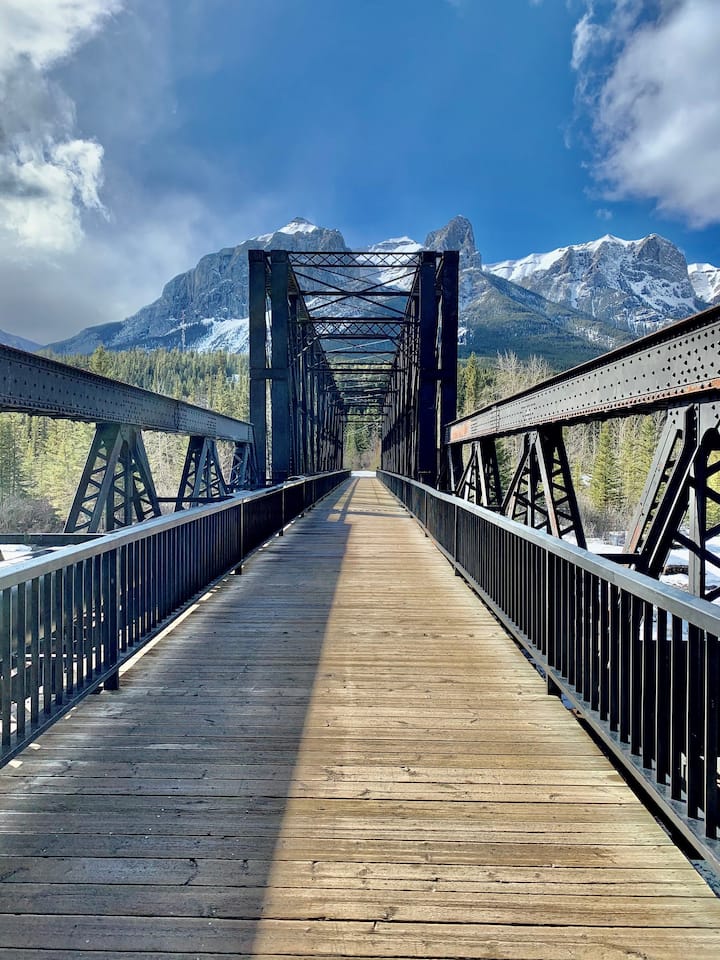
The majority of the trail leads you through switchbacks up the mountain, until leaving the treed area where the last push will continue on loose rocks and scree towards the summit. LOCATION: From Canmore, follow the signs to the Nordic Center on Spray Lakes Road. Go past the Nordic Center and into Kananaskis Country for 5 km. Park at the Goat Creek Day Use Area. Cross the road, and walk up the gravel road, and cross a bridge over a channel. The trail head is marked by a large rock with a plaque at the tree line. ELEVATION GAIN: 741 m DURATION: 3-4 hours
The majority of the trail leads you through switchbacks up the mountain, until leaving the treed area where the last push will continue on loose rocks and scree towards the summit. LOCATION: From Canmore, follow the signs to the Nordic Center on Spray Lakes Road. Go past the Nordic Center and int…